A small workshop with a very large catalog
Every Orograph model starts as the same raw material: the Earth's real shape, sampled from open elevation data. What makes yours yours is the frame you choose.
From globe to solid
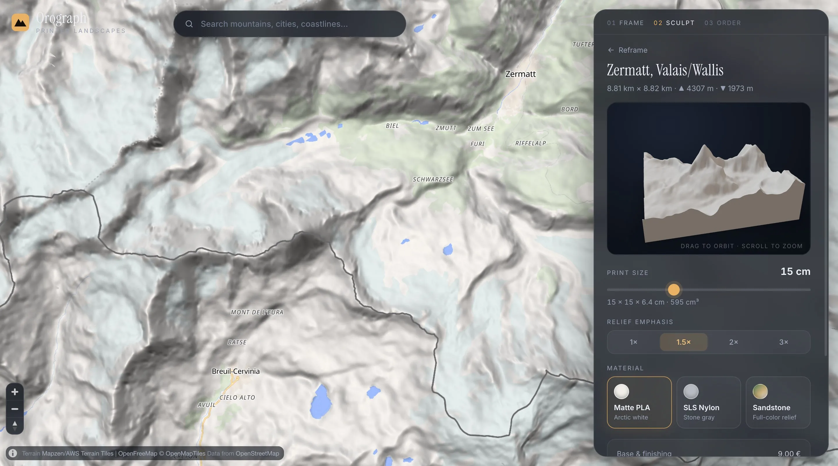
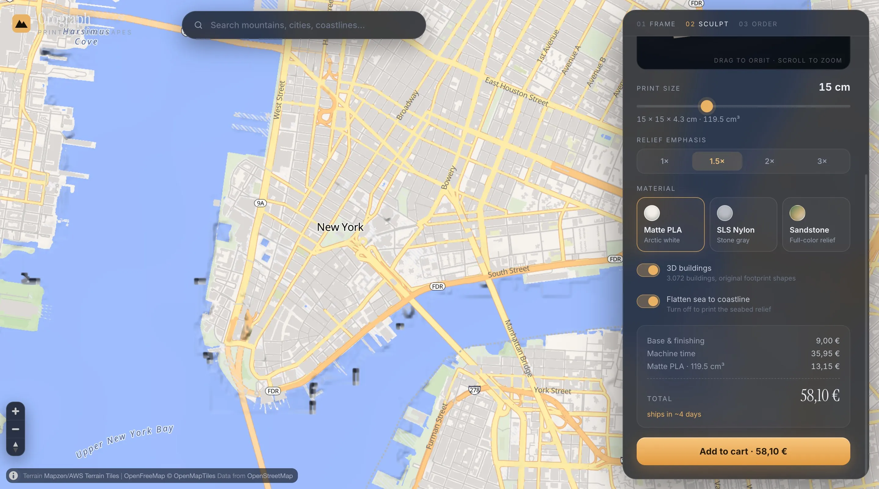
When you capture a frame, the exact rectangle is sampled into an elevation grid — up to ~30 m resolution, the same data alpine clubs use for maps. The grid becomes a watertight solid with surface, skirt and base. City frames can pull real building footprints, street networks and waterways from OpenStreetMap; each becomes its own closed shell, embedded in the terrain so slicers merge everything into one printable body.
Priced by geometry, not vibes
The price is computed from your actual model: a base fee for setup and finishing, machine time by footprint area, and material by the solid's true volume — feature shells included, calculated exactly. Change the frame and watch the price follow. Nothing is hidden in the checkout.
Materials that carry a landscape
Matte PLA — plant-based, printed in eight colors — as one color, as hypsometric elevation bands, or with contrast colors per feature — is the gallery classic. SLS nylon is laser-sintered, with no visible layer lines, for a stone-like museum finish. Full-color sandstone adds hypsometric tinting: altitude painted into the mineral itself.
Made to order in Austria
There is no warehouse and no leftover stock: your file is generated because you framed it, printed on demand, and shipped from Austria. Production runs 4–9 days depending on material.
Full transparency: Orograph is currently a working preview built by a small team in Austria. The configurator, pricing engine and print-file generation are fully real — checkout is still a demo, and workshop photography is in production.
See your place become a solid.
The preview is the product — try it before believing any of this.