Custom 3D-printed landscapes
Type a place. Hold it in your hands.
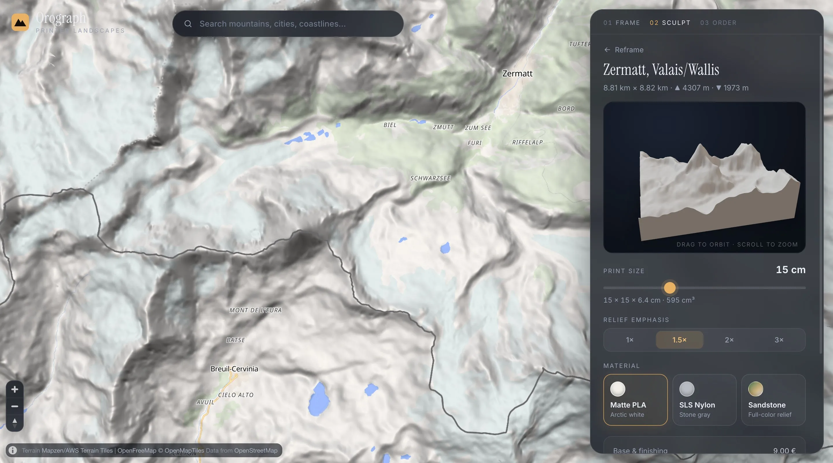
Frame any city, mountain or coastline on a real 3D globe — a live preview builds from actual elevation data in about 30 seconds, and your frame becomes a printed relief model.
- Made to order in Austria
- Print-ready files generated for every order
- Free shipping over €120
How it works
- 01
Frame your place
Spin the globe, type a name, and crop the exact frame you love — rectangle, circle, hexagon or oval.
- 02
Preview it in real 3D
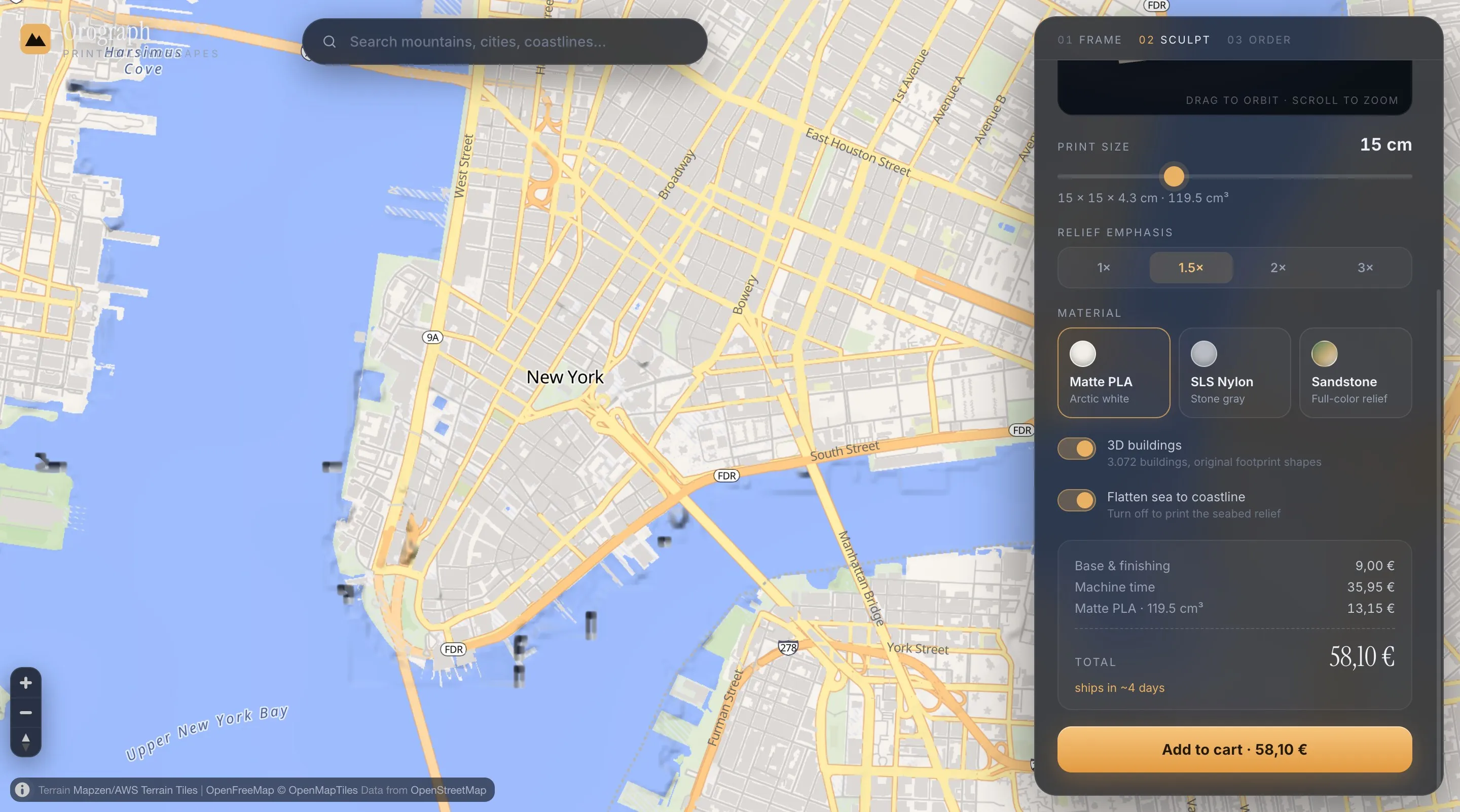
The model builds live from ~30 m elevation data. City frames can add real buildings, streets and water from OpenStreetMap.
- 03
We print it for you
As a 3D relief (8–30 cm, PLA, nylon or sandstone) — or as a flat 2D map poster in three editions. Every order generates true print-ready files.
New
Print your route
Upload a GPX track from Strava, Komoot or Garmin and your actual recorded line sits on the terrain you earned it on — the marathon course, the summit day, the pass. Raised in a contrast color or engraved into the surface, on reliefs and map posters.
Print your routeA gift they'll never forget
The places people love are already personal — you just choose the frame.
Wedding gift
A 3D-printed relief of the place a couple met, married, or calls home.
→Housewarming gift
A 3D-printed model of the new home's neighborhood — real buildings, real streets, their roof among them.
→Anniversary gift
Mark an anniversary with a 3D-printed relief of the place it all started — previewed instantly, made to order in Austria.
→Runner's trophy
A trophy for runners, hikers and cyclists: the actual terrain of the race, summit or pass as a 3D-printed relief — with your recorded GPX route on it.
→For hikers & mountain lovers
A gift for hikers and mountain lovers: their summit as a 3D-printed relief — or their own GPX track on the terrain they climbed.
→From the workshop queue
Live 3D previews from the configurator — the exact geometry that gets printed.
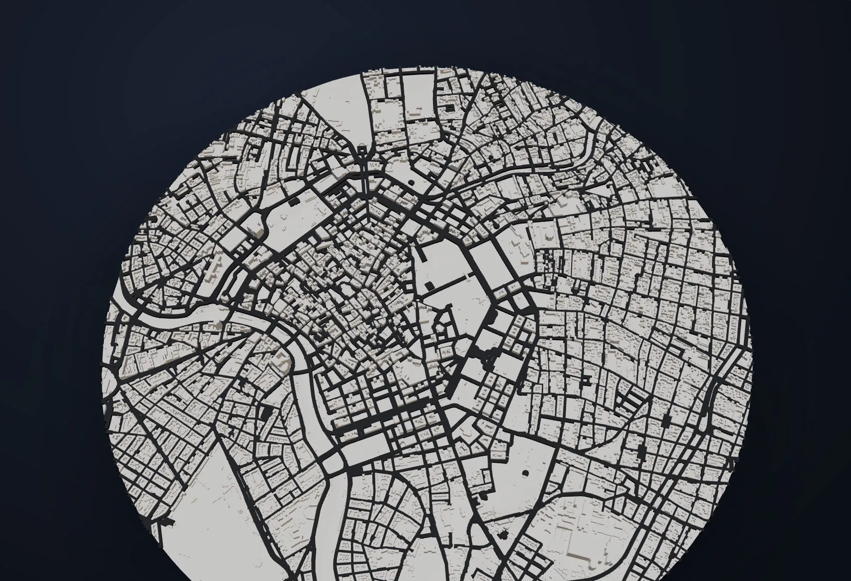 Vienna City center in a circle frame · OSM buildings · graphite streets
 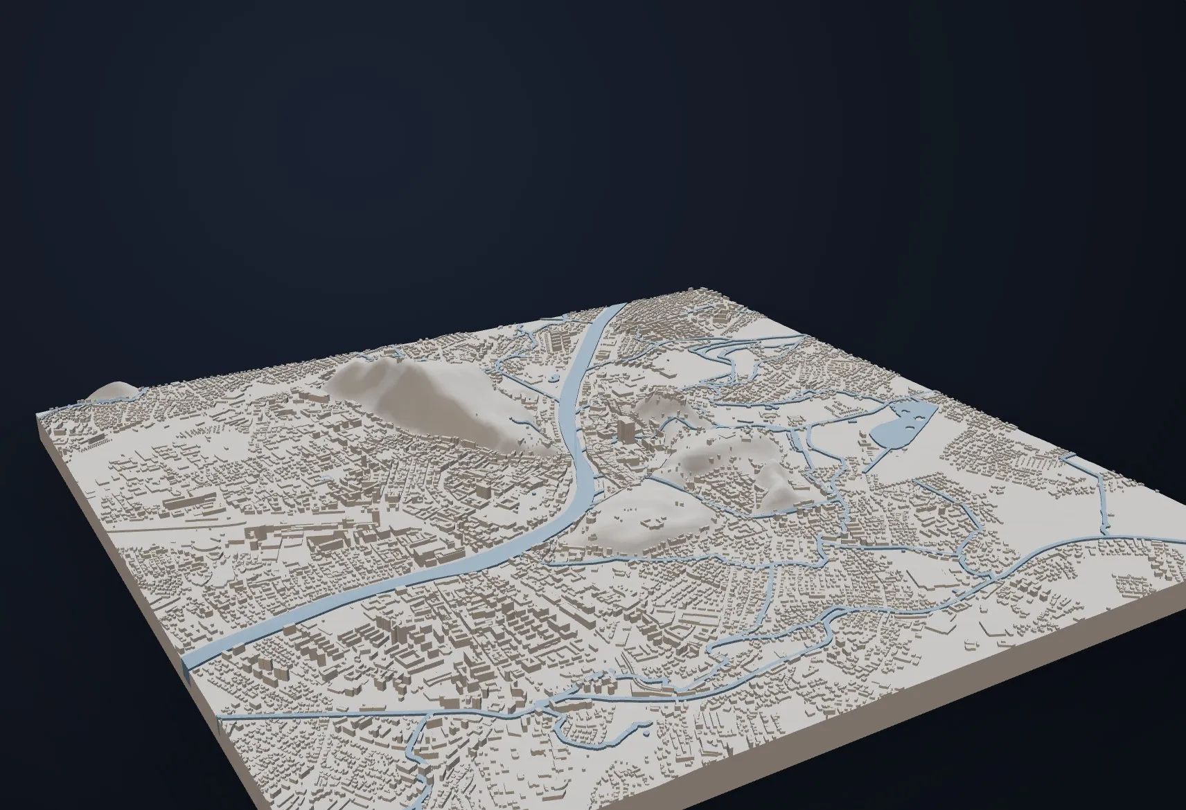 Salzburg Old town · buildings · Salzach in glacier blue
 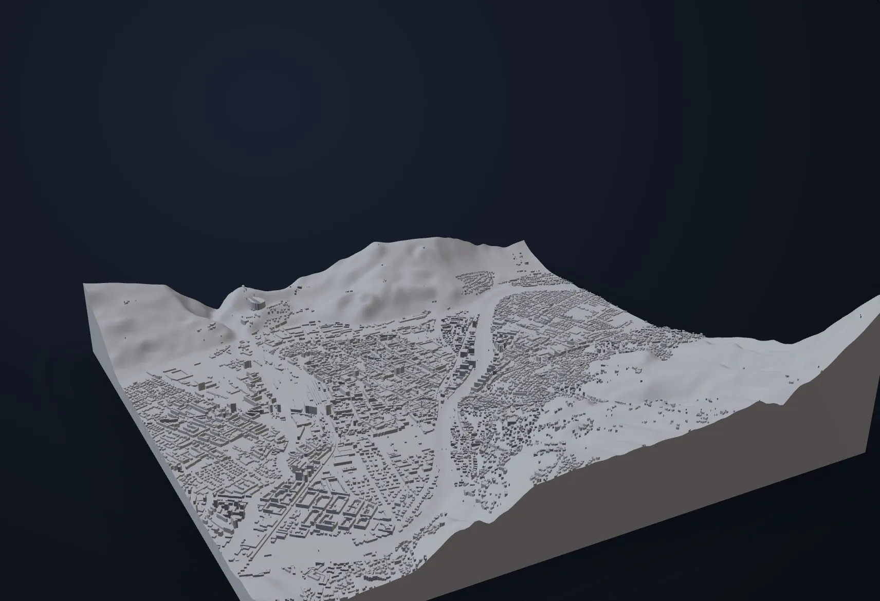 Innsbruck City & Nordkette foot · buildings · SLS nylon
 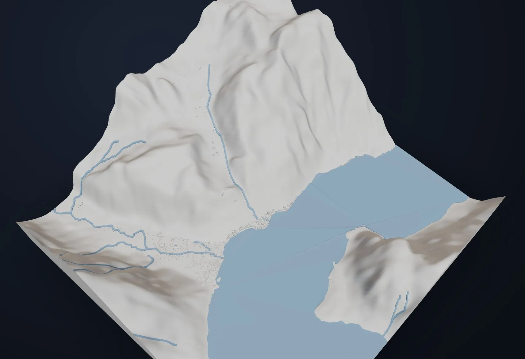 Hallstatt Village & lake · buildings · water in glacier blue
 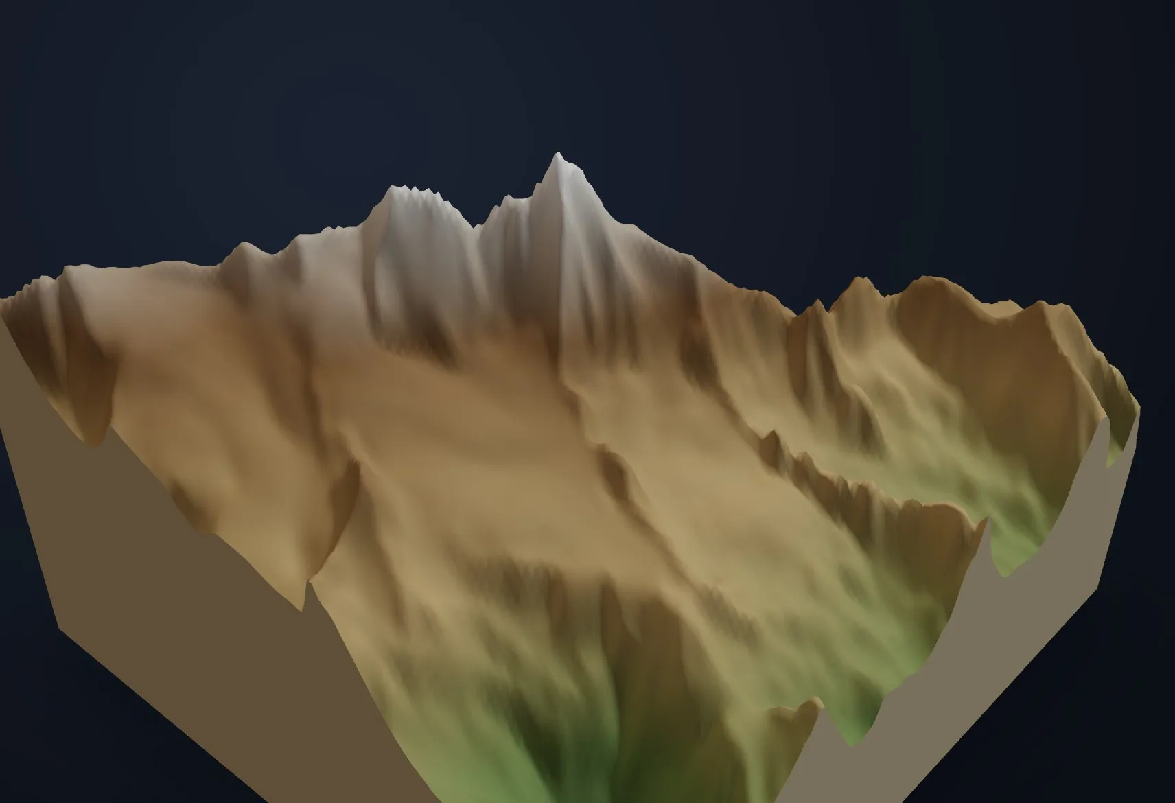 Großglockner Summit & Pasterze · full-color sandstone Manhattan
 Preview renders shown; photographs of printed models are being produced.
Printed like it matters
Every model is meshed from real elevation samples into a watertight solid — surface, skirt and base — and printed to order in Austria. Plant-based PLA in eight matte colors (hypsometric elevation bands included), laser-sintered nylon without visible layers, or mineral full-color sandstone tinted by altitude. No warehouse, no leftovers: your file exists only because you framed it.
Workshop →- PLA
- 8 colors & elevation bands · 4 days
- SLS nylon
- no layer lines · 6 days
- Sandstone
- full color · 9 days
- Sizes
- 8–30 cm
- 2D posters
- 3 editions · A4–A2 & squares · from €24
- Shipping
- €6.90 · free over €120
Your place is already on the globe.
Frame it and see it in 3D — before deciding anything.