3D Model of Vienna
Vienna is flatter than its postcards admit — until you see the Wienerwald ridge rise west of the city and the Danube cut its long island through the grid. A printed relief makes that geography suddenly obvious: the vineyards of Kahlenberg on one edge, the plain of the Marchfeld running off the other.
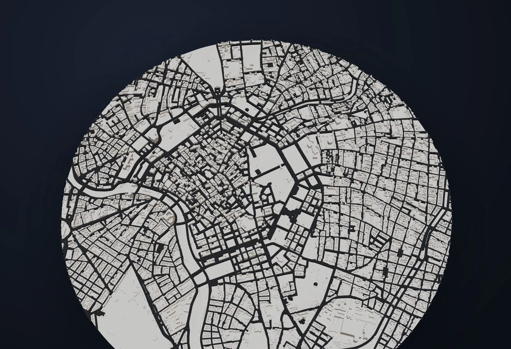
Frame the whole city or zoom to a district: at city-block scale you can add real building shapes from OpenStreetMap — the Ringstraße, the Innere Stadt, your own street — plus streets and the Danube channels in contrast colors.
Pricing is computed live from your exact frame — from about €20 for a small model, with the full breakdown visible before checkout.
- Made to order in Austria
- Print-ready files generated for every order
- Free shipping over €120
- Sizes
- 8–30 cm
- Materials
- PLA · nylon · sandstone
- From
- €20
- Production
- 4–9 days
Questions about this model
How big is a 3D model of Vienna?
You choose the longer edge freely between 8 and 30 cm. The configurator shows exact physical dimensions and the price live while you adjust the frame and relief emphasis.
What material is the model printed in?
Matte PLA in eight colors — incl. hypsometric elevation bands (plus optional contrast colors for buildings, streets and water), laser-sintered nylon with no visible layers, or full-color sandstone tinted by altitude.
How long does production take?
Depending on material, 4–9 days of production plus shipping. Shipping is €6.90 and free over €120. Note: the shop is currently a demo — orders generate real print files, but nothing is charged or shipped.
Where does the terrain data come from?
From open, global elevation data at up to ~30 m resolution; buildings, streets and water come from OpenStreetMap. Every order generates a watertight, print-ready STL file.
Can I print just my district of Vienna?
Yes — frame any crop. Below roughly 5 km frame width you can toggle on real 3D buildings and streets; the Danube and Danube Canal work up to about 50 km.
Or frame any other place on Earth.
The catalog is inspiration — the globe is the product.