Hallstatt Map Poster
Few places sit on a map like Hallstatt: a village compressed onto a shelf between the Salzberg slope and the water, on a lake that fills a deep trench between the Dachstein massif and the Sarstein. The Traun threads it end to end — in at Obertraun, out again at the northern tip near Steeg. A 10 km frame holds the entire lake, with mountain walls closing in from both sides.
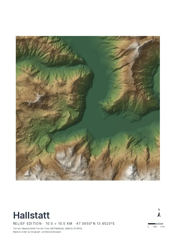
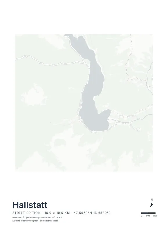
Exact sheet preview — rendered by the same pipeline that produces your print file.
Order it in the Relief edition: the lake surface sits at 508 m and the Krippenstein plateau tops 2,100 m just a few kilometres across the water — hillshading turns that compression into the drama it is. Keep the crop square, 30×30 or 50×50 cm, with the village on the western shore and the Echerntal cutting away behind it; A3 and A2 in portrait give the Dachstein flank more depth. Rotate freely, put a visit date in the title line — and if you want the trench in actual depth, the scene is also available as a 3D relief. Hiking routes, say up to the salt mine, print in signal red from GPX.
- Made to order in Austria
- Print-ready files generated for every order
- Free shipping over €120
- A4
- €24
- A3
- €39
- A2
- €59
- 30 × 30 cm
- €29
- 50 × 50 cm
- €49
- Production
- ~3 days
Questions about this poster
Which formats does the Hallstatt poster come in?
A4 (€24), A3 (€39), A2 (€59) in portrait, plus 30 × 30 cm (€29) and 50 × 50 cm (€49) square — printed on matte paper with a title line, coordinates and a scale bar.
Can I choose the map crop myself?
Yes — you frame the crop freely in the configurator, rotate the map to any angle (the north arrow keeps pointing north) and edit the title line. The preview shows the finished sheet before you order.
What is the difference between the editions?
Street is a light, minimal line map without labels; Relief shows the real terrain with hillshading and hypsometric tint from open elevation data; Orthophoto is aerial imagery. You switch live in the preview.
How long do printing and shipping take?
About 3 days of production plus shipping (€6.90, free over €120). Note: the shop is currently a demo — orders generate a real print-ready PDF, but nothing is charged or shipped.
Is the village itself visible at this scale?
Yes — with a 10 km frame the lake fills the sheet, and Hallstatt's tight cluster of lanes reads clearly on the western shore. For a village-first sheet, pull the crop in to about 4–5 km.
Relief or Street for Hallstatt?
Relief, without hesitation: this landscape lives on the vertical — over 1,500 m from lake to plateau. The Street edition would leave most of the frame empty.
Or map any other place on Earth.
The catalog is inspiration — the globe is the product.