Munich Map Poster
Munich reads from its river: the Isar enters from the south, splits around the gravel banks of the Museumsinsel, then runs a straight green corridor past the English Garden and out toward the north. West of it, the Altstadt sits inside its old ring like a fingerprint, and the radial avenues fan outward — Leopoldstrasse to the north, Landsberger Strasse to the west. A 22 km frame catches all of it, from Nymphenburg's long canal axis to the gravel meadows at Flaucher.
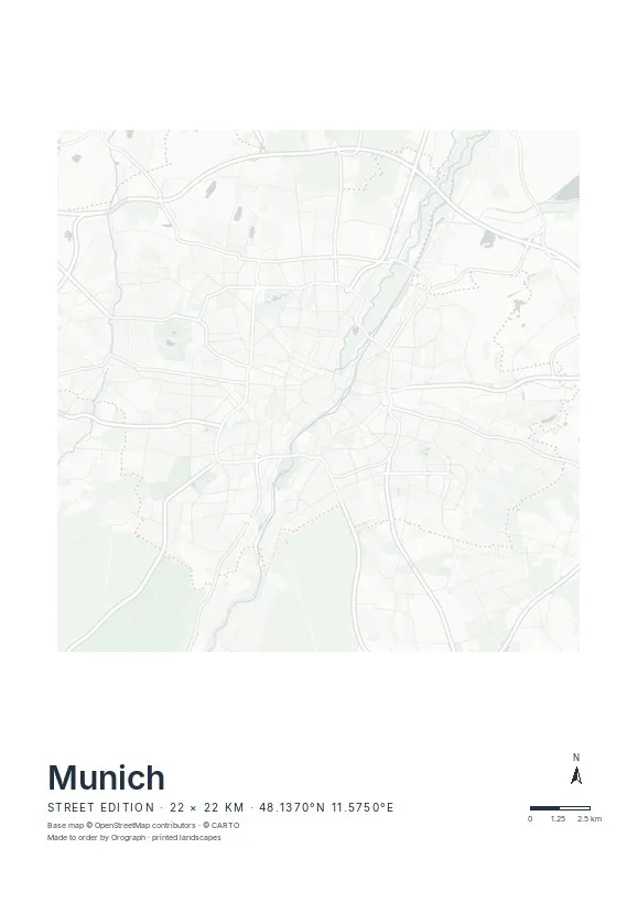
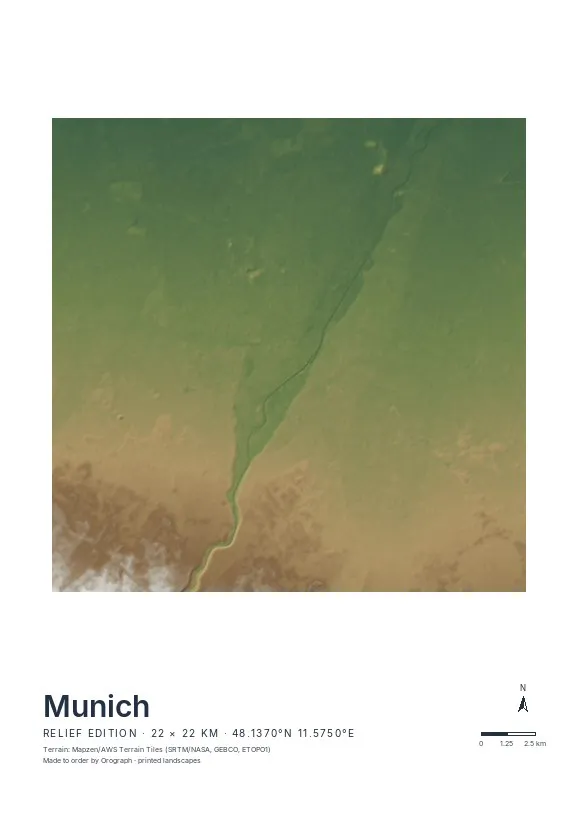
Exact sheet preview — rendered by the same pipeline that produces your print file.
The Street edition suits Munich best: light, unlabeled lines let the Altstadt's knot, the Isar's twin channels and the open voids of the English Garden and Olympiapark carry the sheet. Center on Marienplatz for the classic crop, or shift east until the river runs down the middle. In the square 50×50 cm format the old town sits dead center with the ring roads breathing around it; A2 gives the full north–south sweep of the Isar. Rotate the map freely — the north arrow keeps its bearing — and set your own title line, a street name or a date. If you've run the Munich marathon, your GPX route prints on top in signal red.
- Made to order in Austria
- Print-ready files generated for every order
- Free shipping over €120
- A4
- €24
- A3
- €39
- A2
- €59
- 30 × 30 cm
- €29
- 50 × 50 cm
- €49
- Production
- ~3 days
Questions about this poster
Which formats does the Munich poster come in?
A4 (€24), A3 (€39), A2 (€59) in portrait, plus 30 × 30 cm (€29) and 50 × 50 cm (€49) square — printed on matte paper with a title line, coordinates and a scale bar.
Can I choose the map crop myself?
Yes — you frame the crop freely in the configurator, rotate the map to any angle (the north arrow keeps pointing north) and edit the title line. The preview shows the finished sheet before you order.
What is the difference between the editions?
Street is a light, minimal line map without labels; Relief shows the real terrain with hillshading and hypsometric tint from open elevation data; Orthophoto is aerial imagery. You switch live in the preview.
How long do printing and shipping take?
About 3 days of production plus shipping (€6.90, free over €120). Note: the shop is currently a demo — orders generate a real print-ready PDF, but nothing is charged or shipped.
Does the English Garden show on the Street edition?
Yes — the Street edition draws roads and water only, so the English Garden appears as a calm, empty corridor beside the Isar. It is one of the most striking blank spaces on the sheet.
Can I fit both Nymphenburg and the Isar on one sheet?
Easily — they lie only about 7 km apart. Frame your own crop in the configurator; a width of 12–15 km covers both, and the instant preview shows exactly what will print.
Or map any other place on Earth.
The catalog is inspiration — the globe is the product.