Berlin Map Poster
Berlin spreads flat across the glacial valley of the Spree, and the map makes the most of it: the river splitting around Museum Island, the green rectangle of the Tiergarten, and the Ringbahn drawing its famous dog's-head loop around the inner city. Between them, Tempelhofer Feld sits as a sudden void — two runways and nothing else. Few capitals turn into such a legible poster at first glance.
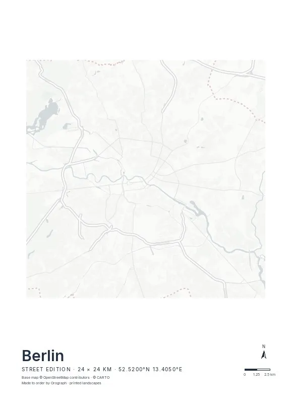
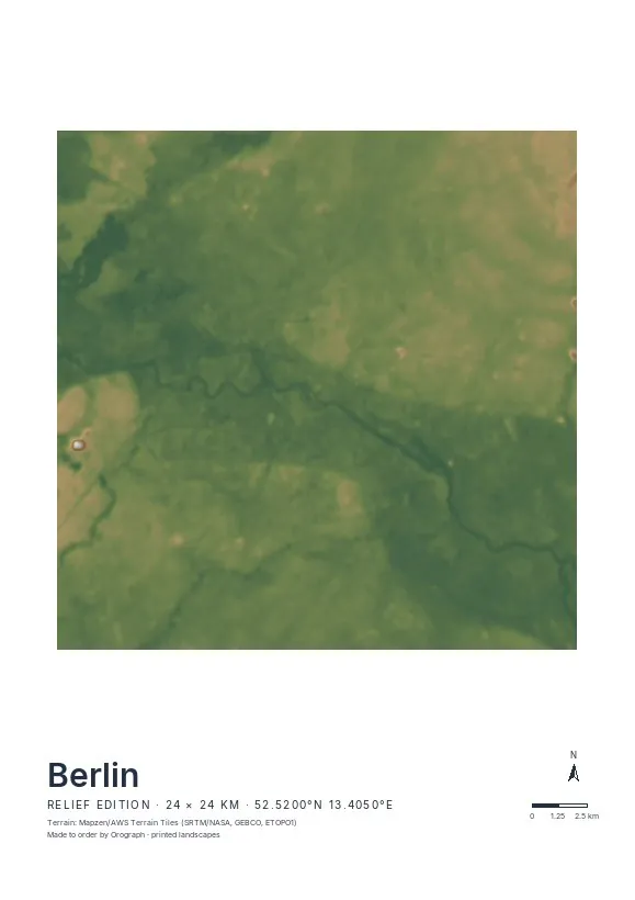
Exact sheet preview — rendered by the same pipeline that produces your print file.
A 24 km crop takes in everything from Spandau to Köpenick, but Berlin also rewards tighter frames: centre the Museum Island split, or put Tempelhofer Feld's empty oval against the dense grid of Neukölln. The Street edition suits the city best — Berlin is flat, and its story is told in lines: canals, rail rings, boulevards. Rotate the map freely to set the Spree horizontal while the north arrow keeps its bearings, add your own title line, and check the live preview before ordering. Available from A4 up to A2, plus square 30×30 and 50×50 cm sheets.
- Made to order in Austria
- Print-ready files generated for every order
- Free shipping over €120
- A4
- €24
- A3
- €39
- A2
- €59
- 30 × 30 cm
- €29
- 50 × 50 cm
- €49
- Production
- ~3 days
Questions about this poster
Which formats does the Berlin poster come in?
A4 (€24), A3 (€39), A2 (€59) in portrait, plus 30 × 30 cm (€29) and 50 × 50 cm (€49) square — printed on matte paper with a title line, coordinates and a scale bar.
Can I choose the map crop myself?
Yes — you frame the crop freely in the configurator, rotate the map to any angle (the north arrow keeps pointing north) and edit the title line. The preview shows the finished sheet before you order.
What is the difference between the editions?
Street is a light, minimal line map without labels; Relief shows the real terrain with hillshading and hypsometric tint from open elevation data; Orthophoto is aerial imagery. You switch live in the preview.
How long do printing and shipping take?
About 3 days of production plus shipping (€6.90, free over €120). Note: the shop is currently a demo — orders generate a real print-ready PDF, but nothing is charged or shipped.
What's the best crop for a Berlin map poster?
The classic frame is the S-Bahn ring — the dog's-head loop contains Mitte, the Spree and Tempelhofer Feld and fits comfortably in a 24 km span. For a district piece, Kreuzberg with the Landwehrkanal works beautifully in the Street edition.
Does the Relief edition make sense for flat Berlin?
It's subtle: the Spree valley and the plateaus of Barnim and Teltow show as soft shading rather than drama. If you want strong graphic contrast, choose the Street edition; Relief suits Berlin as a quiet, tonal piece.
Nearby on the shelf
Or map any other place on Earth.
The catalog is inspiration — the globe is the product.