Leipzig Map Poster
Leipzig's old town is astonishingly small — a compact knot of passages barely a kilometre across, held by the ring of the former walls — while the city around it stretches wide and flat. Through it all runs water in braids: Weiße Elster, Pleiße and Parthe meet here, splitting into mill races and canals as they thread the Auwald floodplain. A trade-fair city by reputation; on paper, Leipzig is a quiet river delta.
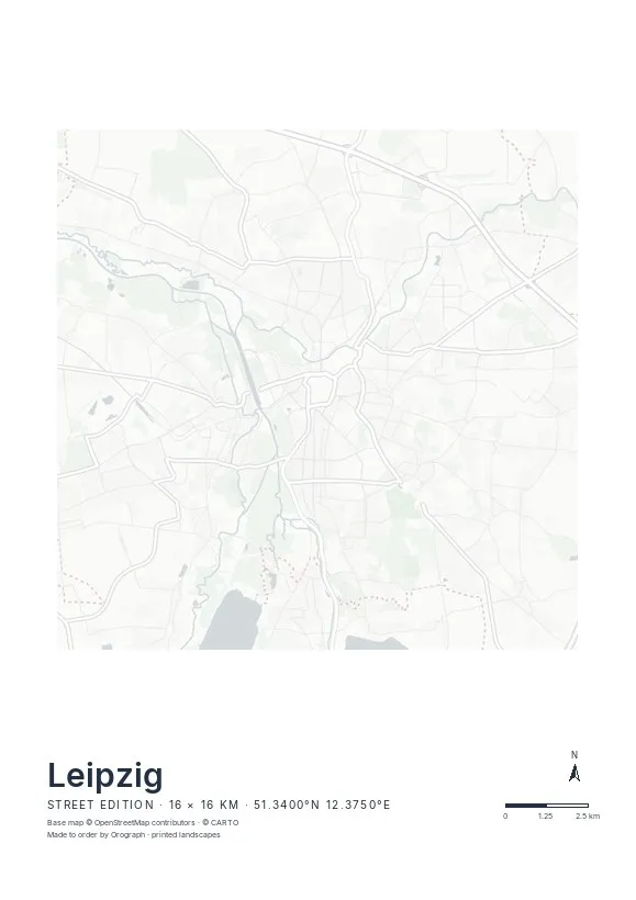
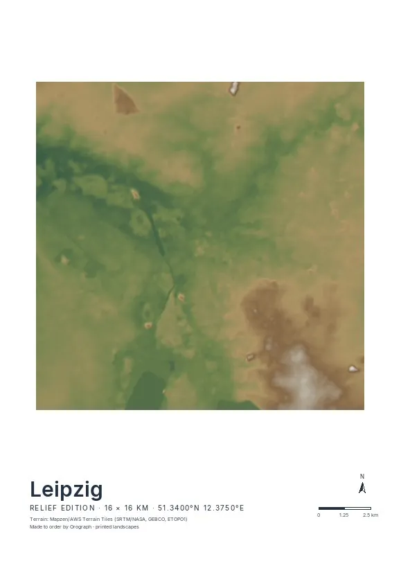
Exact sheet preview — rendered by the same pipeline that produces your print file.
A 16 km span reaches from the Neuseenland lakes at the southern edge — flooded open-cast mines, now broad water surfaces — to the fairgrounds in the north. Closer in, Plagwitz makes a fine subject: the Karl-Heine-Kanal angles through the old industrial grid on its way toward the Elster. Choose the Street edition for the braided waterways, or Relief if you want the shallow Elster valley to glow in soft tints. Rotation is free and the north arrow keeps true, the title line is yours, and the live preview shows the exact sheet. If you run your laps along the Elsterbecken, your GPX route prints on top in signal red. Formats from A4 to A2, plus two square sizes.
- Made to order in Austria
- Print-ready files generated for every order
- Free shipping over €120
- A4
- €24
- A3
- €39
- A2
- €59
- 30 × 30 cm
- €29
- 50 × 50 cm
- €49
- Production
- ~3 days
Questions about this poster
Which formats does the Leipzig poster come in?
A4 (€24), A3 (€39), A2 (€59) in portrait, plus 30 × 30 cm (€29) and 50 × 50 cm (€49) square — printed on matte paper with a title line, coordinates and a scale bar.
Can I choose the map crop myself?
Yes — you frame the crop freely in the configurator, rotate the map to any angle (the north arrow keeps pointing north) and edit the title line. The preview shows the finished sheet before you order.
What is the difference between the editions?
Street is a light, minimal line map without labels; Relief shows the real terrain with hillshading and hypsometric tint from open elevation data; Orthophoto is aerial imagery. You switch live in the preview.
How long do printing and shipping take?
About 3 days of production plus shipping (€6.90, free over €120). Note: the shop is currently a demo — orders generate a real print-ready PDF, but nothing is charged or shipped.
Which crop works best for Leipzig?
Centre on the old town and let the water do the rest: the Elster and Pleiße braids frame it from the west, the Parthe comes in from the north-east. If you love Plagwitz, a tight square crop along the Karl-Heine-Kanal is a favourite.
Do the southern lakes fit on the poster?
With the full 16 km span, Cospudener See just enters the lower edge of the frame. Shift the centre slightly south in the configurator if the Neuseenland matters to you — the preview updates instantly.
Or map any other place on Earth.
The catalog is inspiration — the globe is the product.