Hanover Map Poster
Hanover keeps its surprises inside the map. East of the centre the street grid simply stops: the Eilenriede, a city forest roughly twice the size of New York's Central Park, holds a vast quiet wedge free of streets. To the south the Maschsee stretches its calm, straight-edged water — a lake dug largely by hand in the 1930s — while Leine and Ihme wind past the old town in parallel curves.
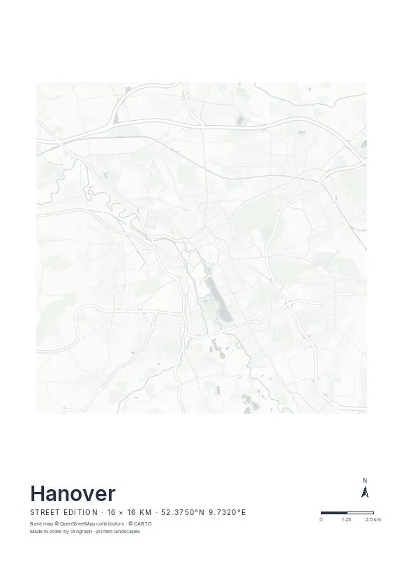
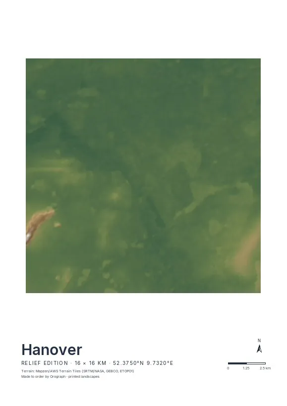
Exact sheet preview — rendered by the same pipeline that produces your print file.
The 16 km span shows the whole figure: Eilenriede and Maschsee as counterweights, the rivers threading between them, Herrenhausen's strict baroque garden geometry in the north-west corner. For a closer piece, crop to the centre so lake, forest edge and old town share one sheet. The Street edition suits Hanover's clear, tidy network best. Rotate the map if you want the Maschsee's long axis upright, put your street or your year in the title line, and check the live preview before you order. Available in A4, A3 and A2, plus 30×30 and 50×50 cm.
- Made to order in Austria
- Print-ready files generated for every order
- Free shipping over €120
- A4
- €24
- A3
- €39
- A2
- €59
- 30 × 30 cm
- €29
- 50 × 50 cm
- €49
- Production
- ~3 days
Questions about this poster
Which formats does the Hanover poster come in?
A4 (€24), A3 (€39), A2 (€59) in portrait, plus 30 × 30 cm (€29) and 50 × 50 cm (€49) square — printed on matte paper with a title line, coordinates and a scale bar.
Can I choose the map crop myself?
Yes — you frame the crop freely in the configurator, rotate the map to any angle (the north arrow keeps pointing north) and edit the title line. The preview shows the finished sheet before you order.
What is the difference between the editions?
Street is a light, minimal line map without labels; Relief shows the real terrain with hillshading and hypsometric tint from open elevation data; Orthophoto is aerial imagery. You switch live in the preview.
How long do printing and shipping take?
About 3 days of production plus shipping (€6.90, free over €120). Note: the shop is currently a demo — orders generate a real print-ready PDF, but nothing is charged or shipped.
Does the Eilenriede show up on the Street edition?
Distinctly — as a large, nearly street-free shape pressed into the eastern grid, crossed only by a few paths. The contrast with the dense city is exactly what makes the Hanover sheet work.
Which crop suits Hanover best?
Place the old town slightly left of centre so the Eilenriede fits fully on the right and the Maschsee anchors the lower edge. In the configurator you can nudge and rotate until the balance feels right.
Or map any other place on Earth.
The catalog is inspiration — the globe is the product.