Düsseldorf Map Poster
In Düsseldorf the Rhine refuses to run straight: it swings through the city in a wide double curve — the famous Rheinknie — with the old town pressed onto the right bank and Oberkassel facing it across the water. A few blocks inland, the Königsallee carries a chestnut-lined canal down its middle, a thin thread of water through the dense grid that gives the map away at once.
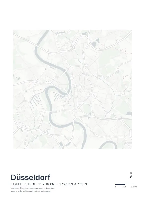
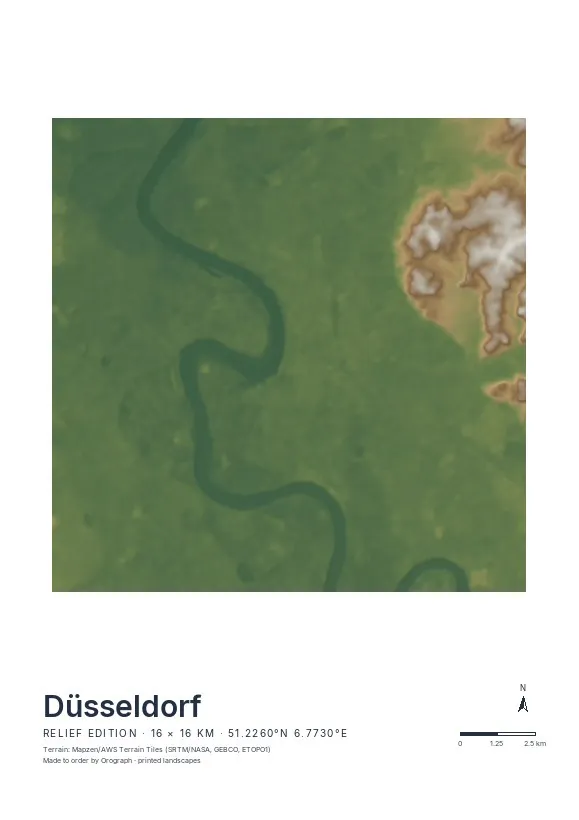
Exact sheet preview — rendered by the same pipeline that produces your print file.
A 16 km span holds the whole river bend, Medienhafen included; the strongest crops, though, stay close — Altstadt, Hofgarten and Königsallee on one sheet, with the Rhine as a broad margin. Street is the edition to pick: this is a city of quays, boulevards and one decisive curve, and the minimal line map gives that curve room. Rotate the sheet until the Rhine sits exactly where you want it — the north arrow stays honest — put your own words in the title line, and judge the whole composition in the live preview before ordering. Formats run from A4 to A2, plus 30×30 and 50×50 cm.
- Made to order in Austria
- Print-ready files generated for every order
- Free shipping over €120
- A4
- €24
- A3
- €39
- A2
- €59
- 30 × 30 cm
- €29
- 50 × 50 cm
- €49
- Production
- ~3 days
Questions about this poster
Which formats does the Düsseldorf poster come in?
A4 (€24), A3 (€39), A2 (€59) in portrait, plus 30 × 30 cm (€29) and 50 × 50 cm (€49) square — printed on matte paper with a title line, coordinates and a scale bar.
Can I choose the map crop myself?
Yes — you frame the crop freely in the configurator, rotate the map to any angle (the north arrow keeps pointing north) and edit the title line. The preview shows the finished sheet before you order.
What is the difference between the editions?
Street is a light, minimal line map without labels; Relief shows the real terrain with hillshading and hypsometric tint from open elevation data; Orthophoto is aerial imagery. You switch live in the preview.
How long do printing and shipping take?
About 3 days of production plus shipping (€6.90, free over €120). Note: the shop is currently a demo — orders generate a real print-ready PDF, but nothing is charged or shipped.
What's the best crop for a Düsseldorf poster?
Let the Rheinknie do the work: centre the bend so Altstadt and Carlstadt sit on the right bank and Oberkassel on the left. The square 50×50 cm format suits the curve particularly well.
Will the Königsallee canal be visible?
Yes — the Kö's canal prints as a fine water thread through the centre grid, small but unmistakable from A3 upwards.
Or map any other place on Earth.
The catalog is inspiration — the globe is the product.