Cologne Map Poster
Cologne grew in half-circles. The medieval city pressed itself against the left bank of the Rhine, and every later ring — the Ringe boulevards on the old wall, then the green belts — repeated that arc. On the map this makes an unmistakable figure: a half-disc of dense streets opening onto the river, with the Hohenzollern bridge aiming straight at the cathedral. Few German cities have a plan this instantly recognisable.
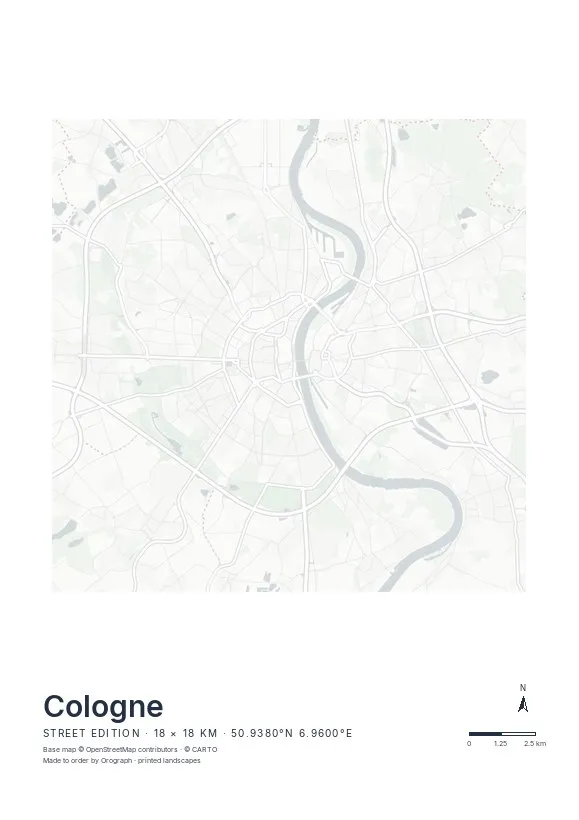
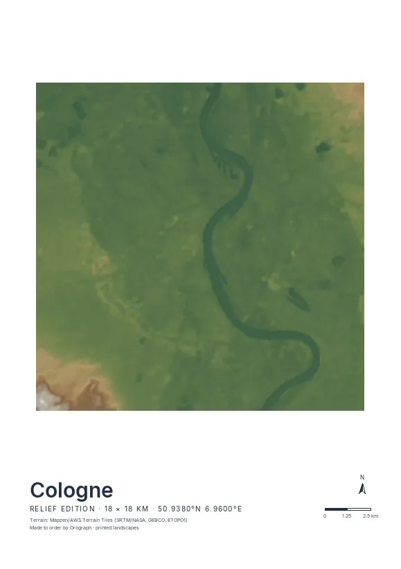
Exact sheet preview — rendered by the same pipeline that produces your print file.
An 18 km span captures both banks, the full sweep of the Ringe and the inner green belt; a closer crop on the Altstadt turns the semicircle itself into the subject. The Street edition is the natural choice — Cologne's geometry needs no shading, just clean lines and the broad band of the Rhine. If you prefer, rotate the map so the river runs vertically up the centre; the north arrow quietly keeps pointing north. Set your own title beneath the map — "Kölle" is allowed — and check everything in the live preview. Sheets come in A4 to A2 and two square formats.
- Made to order in Austria
- Print-ready files generated for every order
- Free shipping over €120
- A4
- €24
- A3
- €39
- A2
- €59
- 30 × 30 cm
- €29
- 50 × 50 cm
- €49
- Production
- ~3 days
Questions about this poster
Which formats does the Cologne poster come in?
A4 (€24), A3 (€39), A2 (€59) in portrait, plus 30 × 30 cm (€29) and 50 × 50 cm (€49) square — printed on matte paper with a title line, coordinates and a scale bar.
Can I choose the map crop myself?
Yes — you frame the crop freely in the configurator, rotate the map to any angle (the north arrow keeps pointing north) and edit the title line. The preview shows the finished sheet before you order.
What is the difference between the editions?
Street is a light, minimal line map without labels; Relief shows the real terrain with hillshading and hypsometric tint from open elevation data; Orthophoto is aerial imagery. You switch live in the preview.
How long do printing and shipping take?
About 3 days of production plus shipping (€6.90, free over €120). Note: the shop is currently a demo — orders generate a real print-ready PDF, but nothing is charged or shipped.
What's the best crop for Cologne?
Centre the sheet on the Hohenzollern bridge so the Altstadt half-disc sits on the left bank and Deutz balances it on the right. An 18 km span includes both green belts; a tight Altstadt crop makes the ring pattern the hero.
Does the Relief edition work for Cologne?
Cologne sits flat in the Cologne Lowland, so relief shading stays gentle — the Rhine valley and the rise towards the Bergisches Land east of the city give the sheet soft depth. For the classic graphic look, Street is the stronger choice.
Or map any other place on Earth.
The catalog is inspiration — the globe is the product.