Frankfurt Map Poster
Frankfurt is a river city first and a skyline second — on paper, the Main takes over: it enters from the east, bends twice through the centre and carries a chain of bridges, the Eiserner Steg among them, between the old town and the Museumsufer. Around the inner city, the Wallanlagen trace the line of the demolished ramparts as a thin green ring. To the south, the Stadtwald spreads as one broad, path-veined block of forest.
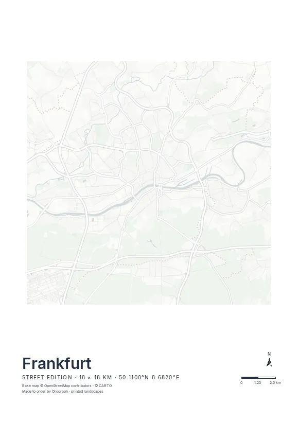
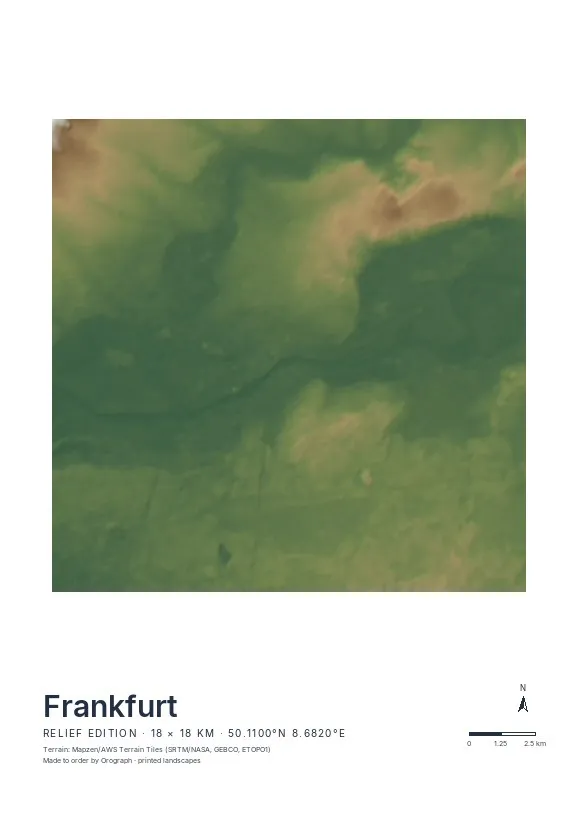
Exact sheet preview — rendered by the same pipeline that produces your print file.
Keep the Main horizontal and the sheet composes itself: a Street edition crop centred between Römerberg and Sachsenhausen puts the river exactly where the eye lands, with the Nidda's loose meanders as a quiet counterpoint in the northwest. An 18 km frame reaches from Höchst to Fechenheim; tighter crops around the Wallanlagen ring work beautifully on the square 30×30 cm sheet. All formats from A4 to A2 carry coordinates and a scale bar, the title line is yours to write — and if your daily run follows the Mainufer, the GPX route prints in signal red.
- Made to order in Austria
- Print-ready files generated for every order
- Free shipping over €120
- A4
- €24
- A3
- €39
- A2
- €59
- 30 × 30 cm
- €29
- 50 × 50 cm
- €49
- Production
- ~3 days
Questions about this poster
Which formats does the Frankfurt poster come in?
A4 (€24), A3 (€39), A2 (€59) in portrait, plus 30 × 30 cm (€29) and 50 × 50 cm (€49) square — printed on matte paper with a title line, coordinates and a scale bar.
Can I choose the map crop myself?
Yes — you frame the crop freely in the configurator, rotate the map to any angle (the north arrow keeps pointing north) and edit the title line. The preview shows the finished sheet before you order.
What is the difference between the editions?
Street is a light, minimal line map without labels; Relief shows the real terrain with hillshading and hypsometric tint from open elevation data; Orthophoto is aerial imagery. You switch live in the preview.
How long do printing and shipping take?
About 3 days of production plus shipping (€6.90, free over €120). Note: the shop is currently a demo — orders generate a real print-ready PDF, but nothing is charged or shipped.
Does the skyline show on the poster?
Not as buildings — a map poster shows the city from above. The banking district reads as a dense packet of streets between the Wallanlagen ring and the Main, and that compression is exactly what makes the crop interesting.
Street or Relief edition for Frankfurt?
Street. The terrain is gentle here; the character sits in the river bends and the street net. Relief becomes worthwhile only if you widen the frame northwest toward the Taunus ridge.
Or map any other place on Earth.
The catalog is inspiration — the globe is the product.